July 20, 2013: I was hoping to get some photos of the recent "Mountain Fire" wildfire that was devastating the Santa Rosa Mountains and the awesome mountain getaway town of Idyllwild, located up in those mountains. The fire closed CA-243, the road to Idyllwild.
I thought that a good place to view the fire would be from Key's View in Joshua Tree National Park. Key's View, at over 5000 ft elevation, has an awesome view of Mt San Jacinto and the Santa Rosa Range, across the Coachella Valley. I thought that from Key's View, I would have seen smoke spewing from the fire area like smoke from a volcano.
However, unlucky for me, a summer rain was in the forecast and the entire Valley was clouded over and I cannot tell the difference between black rain clouds and black fire smoke. I had to make due.
 |
| View of Mt San Jacinto on a clear day from Key's View (taken Dec. 8, 2012) |
 |
| View of Mt San Jacinto on a not-so-clear day from Key's View (taken Jul. 20, 2012) |
**
So, Joshua Tree being a photographic loss for the day, I drove down to the Cottonwood Ranger Station and Spring, exited the park, and took a leisurely drive back to Palm Springs via the Box Canyon Road between Cottonwood and Mecca.
When I checked into my motel in Palm Springs, the earlier, completely overcast, sky had pretty much cleared up.
 |
| Late Afternoon View of Santa Rosa Mountains from Palm Springs (Point A on map below) |
The local news had been showing some interesting views of the fire at night; the tips of the mountains glowing orange and red. So around dark, I went back out in search of fire.
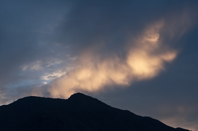
I did not see any signs of fire, but I did see some dramatic sunsets along the CA-111 between Palm Springs and Cabazon.
***
Views along West Racquet Club Road in Palm Springs (Pt B on map below).
Racquet Club Road pretty much heads west straight to the mountain
 |
| Looking East towards Indio and the eastern Valley |
***
These next two shots are taken along the CA-111 (at Point C on the map below)
 |
| Taken at point C on the map below |
***


2 comments:
Hi there!
I spent about an hour looking at your blog and we seem to be interested in some of the same things and have been to many of the same places. Last week I did a blog post relating to the Mountain Fire. We were in the mountains between Julian and Lake Cuyamaca. Like you I we couldn't see the actual fire, but I did get some great photos of the smoke. I'll be looking around and leaving some comments. Great blog!
Thanks!! We are also on facebook...see you round the desert!!
Post a Comment